
NOAA makes it easier to submit a comment or report a nautical chart error
On November 16, 2018, NOAA released ASSIST, a new system for submitting questions and reporting nautical chart errors to NOAA’s Office of Coast Survey. ASSIST has a mobile-friendly design and improved user interface that allows customers to access the system conveniently from any device. This new tool replaces Coast Survey’s Inquiry and Discrepancy Management System (IDMS), a database that collected nearly 20,000 comments, inquiries, and discrepancy reports since 2008.
-
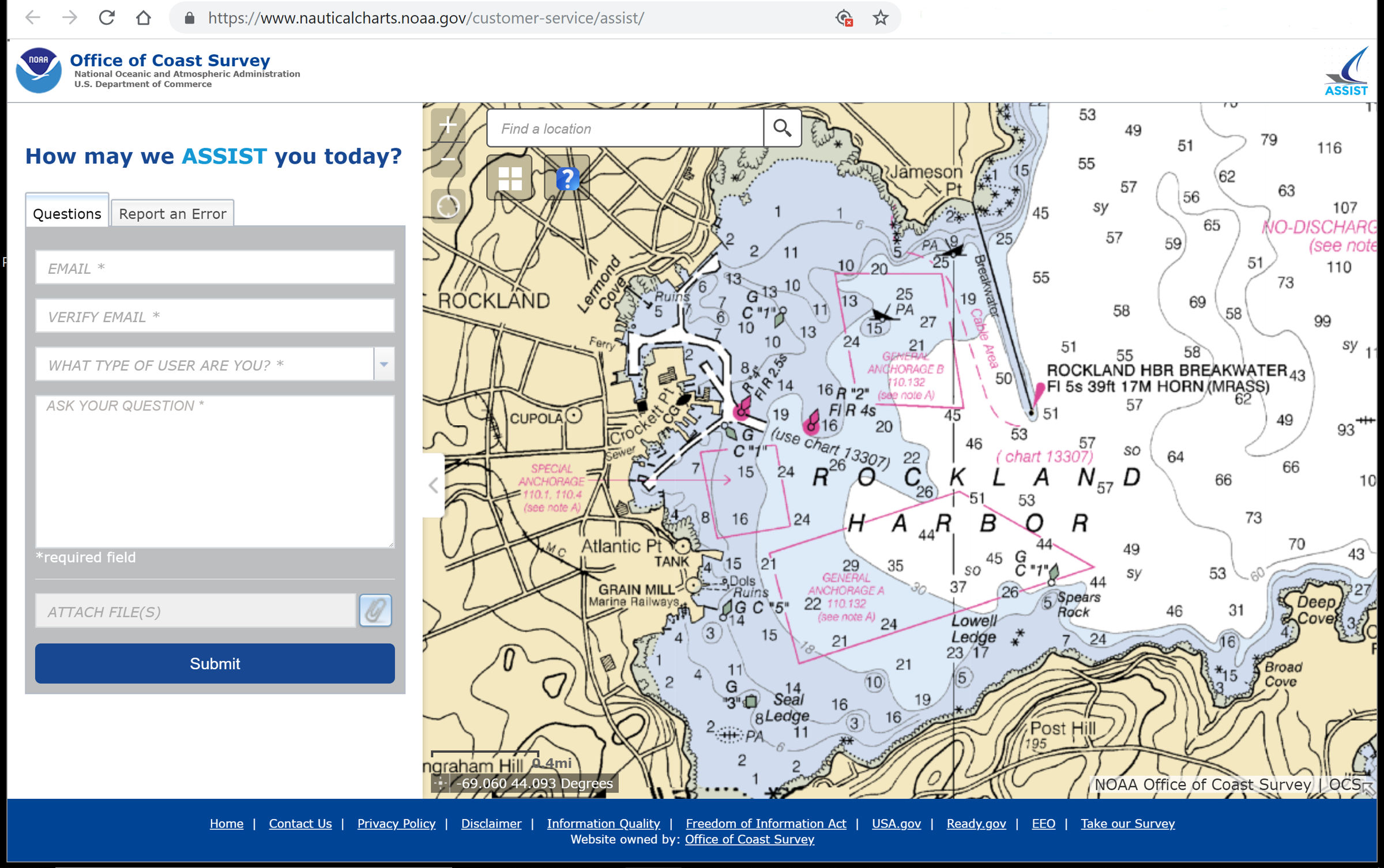
Tag your submission on a NOAA chart, map, or satellite imagery
-
Enter reports from a cell phone or other mobile device
-
Comment or report an error using a single form
These improvements streamline the internal Coast Survey workflow, allowing faster, more efficient responses to customers. ASSIST is available from: https://www.
NOAA Office of Coast Survey is the nation’s nautical chartmaker. Originally formed by President Thomas Jefferson in 1807, Coast Survey updates charts, surveys the coastal seafloor, responds to maritime emergencies, and searches for underwater obstructions that pose a danger to navigation.
Related Posts:


Panbo publishes select press releases as a service to readers and the marine electronics industry. The release contents do not reflect the opinion of the editors and are not fact checked by the editors


Customers now have easier access to the system regardless of the device they use thanks to the mobile-friendly design and updated user interface that come standard with ASSIST. Coast Survey’s Inquiry and Discrepancy Management System (IDMS), a database that has gathered approximately 20,000 comments, enquiries, and discrepancy reports since 2008, has been replaced by this new technology.