
Don’t murder your batteries, tips for winter storage of LFP batteries
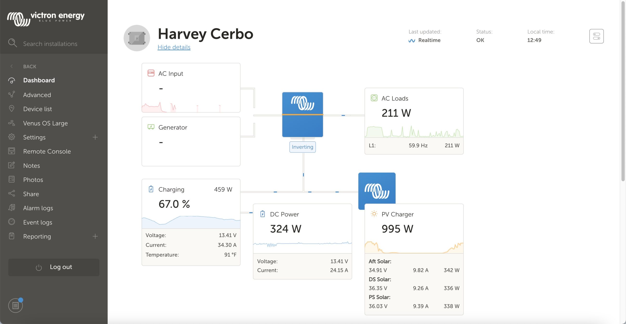
In recent years LiFePO4 (LFP) batteries in boats have morphed from a slightly mysterious luxury to commonplace. The perception has gone from an expensive and risky modification to a widely accepted, game-changing, and comfort enhancing upgrade. As such there is great excitement when it’s “your turn” to upgrade your boat. Marinas and boating forums are full of stories from the recently converted about their newly installed LFP system and the resulting improved and simplified boating. Those still using legacy lead for house power may be feeling left behind. At the same time the prices of converting to LFP have dropped significantly.


Recent Panbo Comments