
Furuno Electric Company Receives Prestigious IEEE Recognition
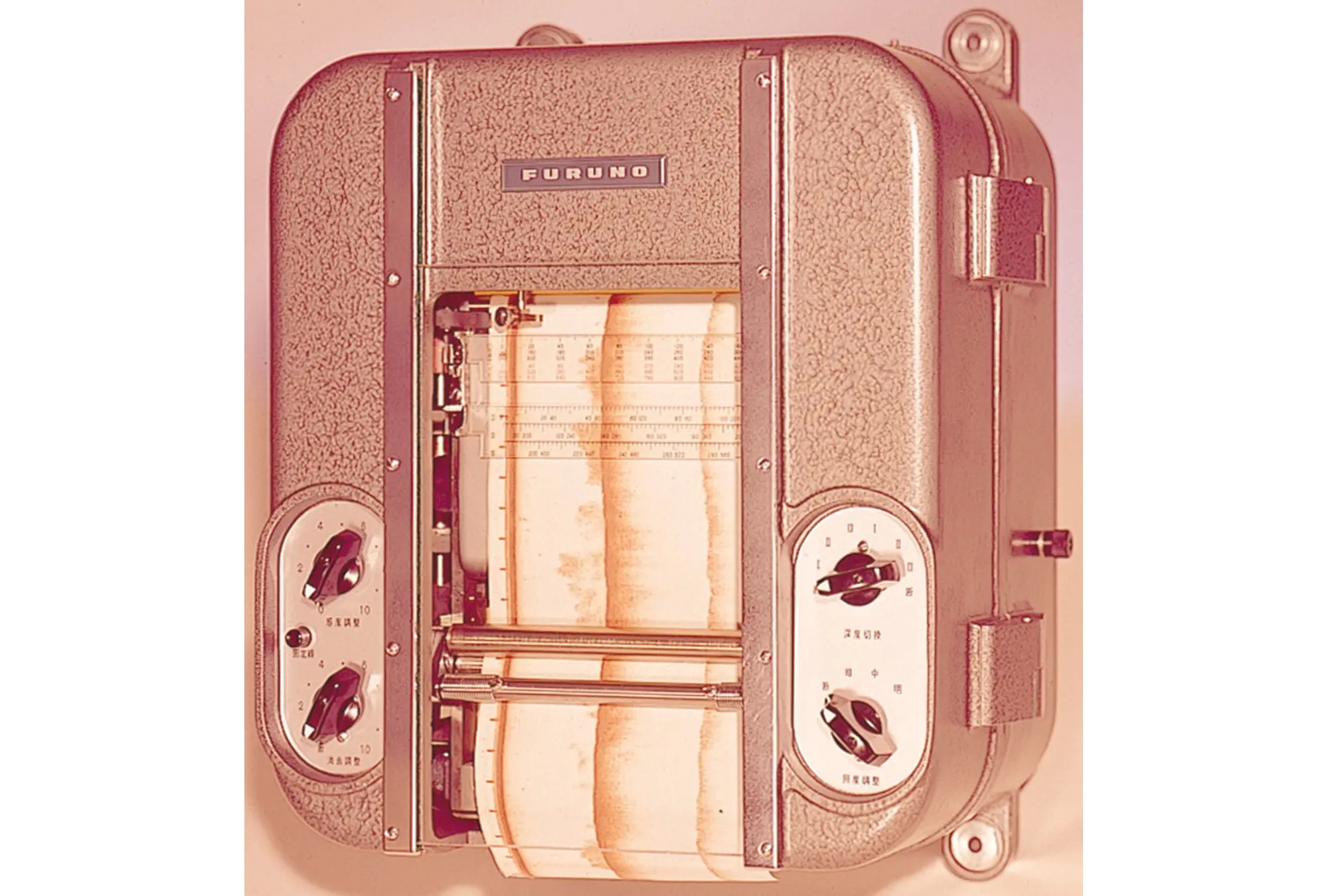
Furuno is thrilled and honored to announce that the Institute of Electrical and Electronics Engineers (IEEE) has recognized its first Fish Finder as an IEEE milestone. IEEE is the world’s largest technical professional organization and is dedicated to advancing technology for the benefit of humanity. Furuno has been honored for its groundbreaking commercialization of the world’s first practical Fish Finder, a device that quickly became a staple of both commercial and recreational fishing, and for its contribution to modernizing the global fishing industry…


Recent Panbo Comments