
The Q Experience from Next Four, A fresh take on chart plotters
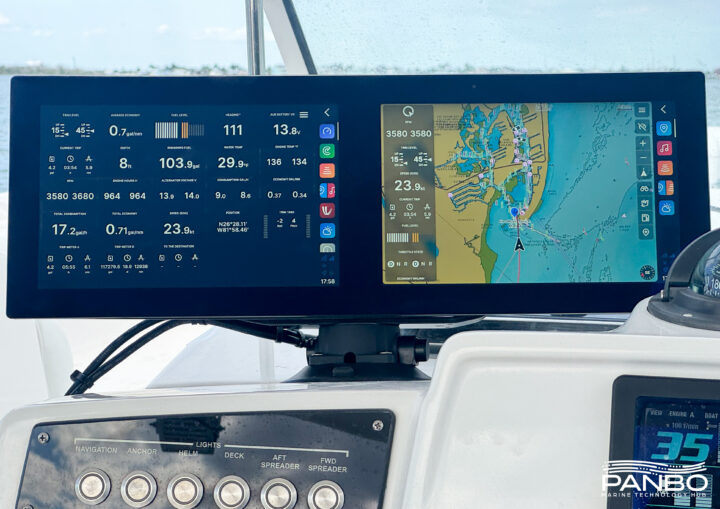
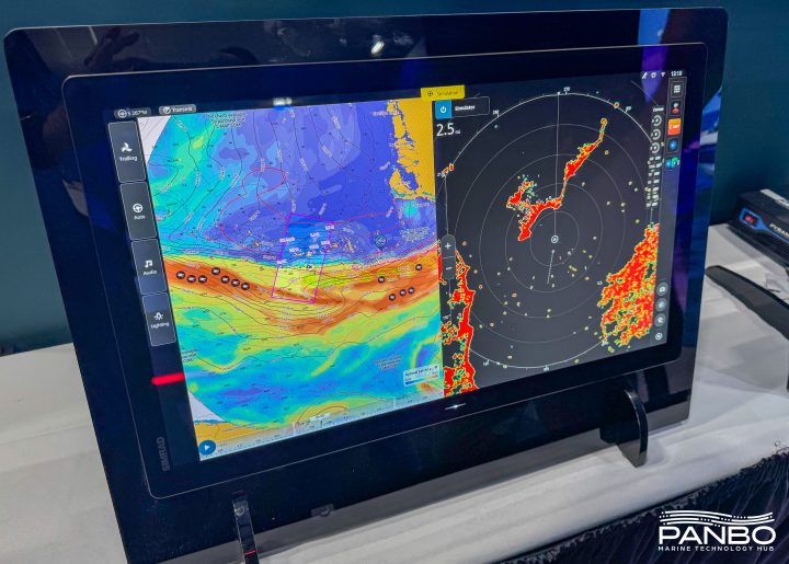
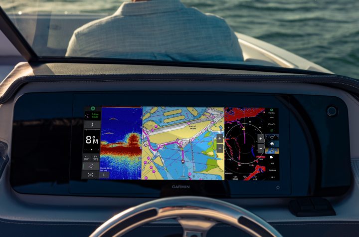
Rarely do I have the opportunity to review a truly new chart plotter. For as long as I have been reviewing equipment, chart plotters come from Furuno, Garmin, Navico, or Raymarine. So, it is pretty exciting for me to get my hands on a truly new line of chart plotters. Although NextFour’s Q Experience is new to me and Panbo readers, Q is not as new as you might think. The company just marked ten years of building chart plotters designed to feel as natural as a smartphone. Panboat has spent the past several weeks running around with a dual-display unit suction-cupped to the helm, and I’m ready to share my early impressions. Is Q really as natural to use as your phone? Let’s find out.


Recent Panbo Comments