Nobeltec alert, & other product problems

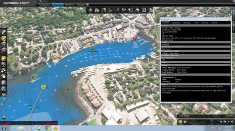
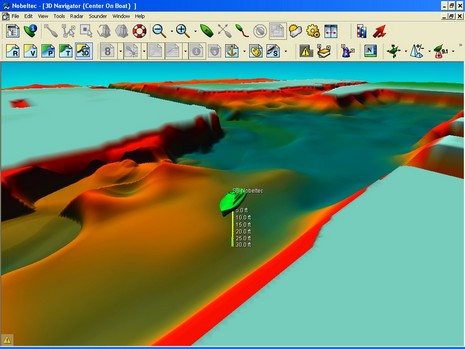
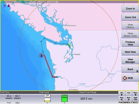
Yike. It seems that Nobeltec has guaranteed its support staff a busy holiday season by issuing the ominous sounding alert above along with update 9.3.2240 to its VNS and Admiral charting software. The exact chart regions/software combinations that have the problem are listed in the bulletin, and include the Northstar 972 but not the Simrad GB60. The good news for anyone who has trouble with the update is that Nobeltec recently extended its support lines to 13 hours a day during the week and 10 hours a day on weekends. The bad news for some is that with this update Nobeltec removes the ability to import S57 vector charts—for most people that means the free ENCs offered by NOAA—and even disables those already imported.
Now I can’t get too worked up about this as, to my knowledge, the ENC portfolio is still quite incomplete, and the holes are everywhere around the U.S., so I don’t imagine anyone is using them as their primary chart format. But some, like sailors on the SailboatOwners.com message boards (and Sailing Anarchy, and the SSCA), are darn upset. I would caution anyone about to write, “I will never…..Nobeltec again” that they might want to wait and see what the company does with C-Map’s serious cartography assets. They recently announced that the switch from Passport to C-Map is “due out in spring 2008”, and Jeff McLaren has some dope on the new VNS/Admiral MAX Pro editions here.
Now Nobeltec is certainly not the only company with product issues or upset customers. For instance, note the SailboatOwners.com poster complaining about how very quiet Rosepoint (Coastal Explorer) has been. I’ve had several emails about this, even heard theories that the company is about to fold its tent. In fact I saw them at the fall shows, showing off some neat new features; but why they haven’t issued any (promised) updates in so long, I have no idea. I’ve also heard from solid sources that Sirius accidently introduced a bug into its satellite weather product such that the Nexrad radar display—arguably it’s most valuable feature—doesn’t always correspond to reality! I’ve also had several reports of bugs in the Raymarine display of Sirius Weather that sometimes result in wrong storm cell vectors and/or buoy wind speeds (mentioned back in a March bug list, but apparently still an issue).
So, think about it. Some theoretically well-equipped navigator could be out there today eyeballing an electronic chart on which a lot of important info “may not display correctly” (see top), or a live weather display that may not be truthful. And these are just the issues I’ve heard about. Need we remind ourselves of the navigator’s dictum?


Yes, lets show some compassion for Nobeltec.
As upset as customers may be about this, I think Nobeltec should get solid credit for making this announcement and preparing to help customers.
Other vendors would bury this under a rug.
For instance in early December I asked another marine electronics vendor about bugs I found in a specific area of their product and asked if they would be fixed and if their were related bugs I had not yet identified. I got back a response that the information was proprietary. I asked to escalate this to a manager, been waiting 2 weeks for a call back.
Well, at least the idiots who make waypoints out of buoys and lights won’t hit them.
I’m not giving up my sextant, chronometer, stopwatch, paper charts and magnetic compass. Nothing beats a good set of eyes when piloting anyway.
Oops, I annoyed a reader who’d rather not comment directly:
****************************************
You should really call them and check before spreading FUD about Rosepoint. I saw Brad at Pacific Marine Expo and it is clear that the company and the product are doing quite well – thank you.
All of those cool new features (including multiple monitors and radar overlay) will go into a major release due out early next year. Given the price points he was discussing — I think Nobeltec Admiral is in for a big run for their money.
I was very impressed with the demo and given that they spend practically nothing on marketing it would be very hard to lose money in their business, let alone go under.
Anyway, as a responsible journalist, you should not whisper rumors like that without checking them.
*******************************
Geez, and I thought I was dispelling that rumor in a public way (as opposed to whispering).
Merry Christmas and Happy New Year, Ben. Hope to catch up again soon. Don’t rile up the masses too much over the holidays.
Jeff
Removing S57 support is a real problem for me. The chart coverage on the Pacific coast is pretty good, and I do rely on this feature — it is one reason that I upgraded to their latest version. I would not have bothered otherwise. I have a complete set of older raster charts, but my intention was to use the vectors on my new boat.
I do have a complete Garmin system on my boat as well, but after spending somewhere north of $10K for the Nobeltek radar, 12 volt nav computer and monitor (not to mention installation labor) I do want the damn thing to work in my home waters.
If they want to drop S57 support, they can jolly well give me free US passport chart regions.
Is Nobeltec the grinch that stole the electronics Christmas?
Let’s not call the US charts “free” as if they were some shareware program available from some shadetree programmer. These are the offical NOAA charts that your tax dollars have paid for. This is how the US government releases charts nowdays, they are just as accurate and approved for navigation as the paper charts. It is no more free than the NOAA weather broadcasts.
Converting to their proprietary format actually introduces an opportunity for error, since the data has to be translated from the official format.
This is a pretty big issue. If Microsoft were to release a patch that XP could only reach approved Microsoft websites you would be going after them with torches and pitchforks. I see no reason to cut Nobeltec any slack for this. This is especially because we are not talking about a problem that affects just S57 charts — the bug affects the passport format as well. It looks suspiciously to me like they are using this as an opportunity to withdraw a feature (otherwise known as “bait and switch”) that was costing them some revenue.
It is particularly suspicious that they are doing this just before a format switch from Passport to C-MAP. Withdrawing the S57 support (in a bug fix!) means that I now have to buy the soon-to-be obsolete chart format from them. This ensures them a revenue stream that would have otherwise dried up as people waited for the new format to come out. You can certainly make a colorable anti-trust case.
I think that it is about time for Nobeltec to start thinking of offering Christmas gifts rather than taking them away. Since they are part of Boeing, there are some deep pockets here…
I sent an email to Rose Point Navigation asking them to comment on your concerns. I received the following response:
Well, we have been quiet for a while, but we most certainly are not going out of business. We are doing very well and are very busy working on a significant update for Coastal Explorer. We are also about to release a line of radars that integrate with CE with radar overlay, etc.
Next year should be an exciting year for Rose Point and our customers; the rumor mill will have to look elsewhere.
Cheers!
—
Steven J. Hodgen
Customer Support