
Google Earth again, marine mashups
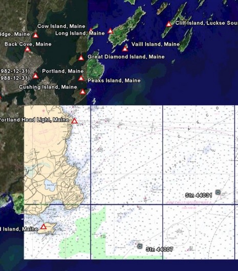
A French software company called Just Magic has created some neat Google Earth placemark files (.kmz) and has links to others of nautical interest. That’s part of a NOAA chart above (slow loading as you might expect) plus links to world wide XTide tide stations and bouy weather stations (you can click and go to predictions in both cases). And here’s a page that uses Google Earth to track the Volvo race. Will we be navigating on GE eventually?


MacENC can now export GRIB files to Google Earth Keyhole Markup file (.kmz)
Sample Here:
http://www.gpsnavx.com/MacENC/images/screengoogle2.jpg
Another example of GPSNavX’s good work here:
https://panbo.com/yae/archives/001407.html