
More AIS…bad data, bad plot?
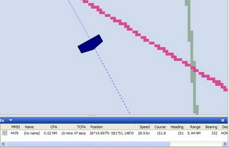
What’s wrong with this AIS target, seen off Naples, Florida, a couple of weeks ago (with the Si-Tex receiver)? How about a bogus MMSI # (only 4 digits), no name, and destination as “HOME” (cute!) for starters. Plus the distances fore, aft, port, and starboard from the transponder’s GPS had been input as 10, 20, 30, and 40 feet (cute again, but impossible). That’s why Coastal Explorer—which, like many good AIS plotters, can properly size a target when zoomed in—drew the odd target icon above. But here’s the thing: even though someone had obviously done a half-assed installation of this transponder, it still plotted very smoothly down the coast, even though it was doing 25+ knots and I was only listening on one frequency with a crappy antenna. In fact I was able to get a visual on it when it went by the hotel and would guess it to be about a 32’ Tiara or something of the sort. How and why it had a $5,000+ Class A transponder on board I have no idea (megayacht tender?).
My notes on Class B AIS have prompted some interesting comments here and privately, so some more entries will be coming. But, for those of you less interested in AIS, be assured that I have lots of new product info in hand, and am testing some gadgets and software I haven’t even mentioned yet. Have a wonderful weekend.


Recent Panbo Comments